Travel: The 4WD access road heads south from I-8 at mile marker 48.1. For westbound travelers there is a median crossover at that location. There are a number of roads and it can be confusing. On our way out we recorded a GPX track to calculate the proper mileage. Your odometer may vary by as much as five percent. Measure from the large parking area just south of the highway. At 1.0 mile, turn left. At 3.9 miles, bend right at the split. At 5.4 miles, hang a sharp right at a T. At a 4-way at 5.8 miles, turn right. At 6.3 miles go right and start looking for a gate and pass through at about 6.5 miles. It is posted Barry M. Goldwater Range, enter by permit only. The two-track (some soft sand) heads southwest at first and then southeast. Creosote will give your vehicle desert pinstripes. The Mohawk range is on the east and sand dunes on the west. At 14.6 miles, turn right at a wooden post with H1 carved on all four sides. This is the Mohawk-Papago Well Road. At 15.2 miles go left on a faint track. There are several. You want the one that opens onto desert pavement rising softly up the bajada. Park at 16.3 miles. Allow 50 to 60 minutes from the highway.
Distance and Elevation Gain: 4.6 miles; 2,250 feet of climbing
Total Time: 5:00 to 6:30
Difficulty: Off-trail; navigation moderate; Class 2+ with serious exposure; spine hazard, dress defensively; hike on a cool day and carry all the water you will need.
Permit Required: To enter the Barry M. Goldwater Range (West, Area C) you must first secure a permit online from Luke Air Force Base iSportsman Service for all individuals in your party. Once you have the permits, give notice online of the day you intend to hike.
Map: Mohawk Mountains SW, Arizona 7.5' USGS Quad
Date Hiked: February 23, 2020
Quote: Never get separated from your primal urges. Gerry Roach
The Mohawk Mountains are in a lineup of north to south-running ranges in the southwestern quarter of Arizona. In the north they are within the Barry M. Goldwater Range and in the south, the Cabeza Prieta Wildlife Refuge which extends to the United States-Mexico border. Below, Mohawk Mountain is image-center. (Thomas Hold Ward, photo)

Route: The mountain is seldom visited and there is no hint of a social trail. Enter the access canyon heading east-southeast and hold that bearing to the High Saddle. Climb the north ridge to the crest. Note: intervals on this topographical map are 20 feet.

This image looks east to Peak 2,067'. You could drive a small distance further on the desert pavement. As a friend said, "You should feel sufficiently remote." (THW, photo)

From the parking area, elevation 620 feet, you can see the entire climb. Below, the access canyon is in the center. On the left is Peak 2,716' and Mohawk Mountain is center-right with the appliances on the summit.

At 0.7 mile we dropped into the draw and crossed to the south side. There is a great deal of latitude in the lower reaches of the wide drainageway. The benches on either side offer good passage or any of the multiple channels. We were fortunate to pass by an elder ironwood with a two-foot diameter trunk. (THW, photo)

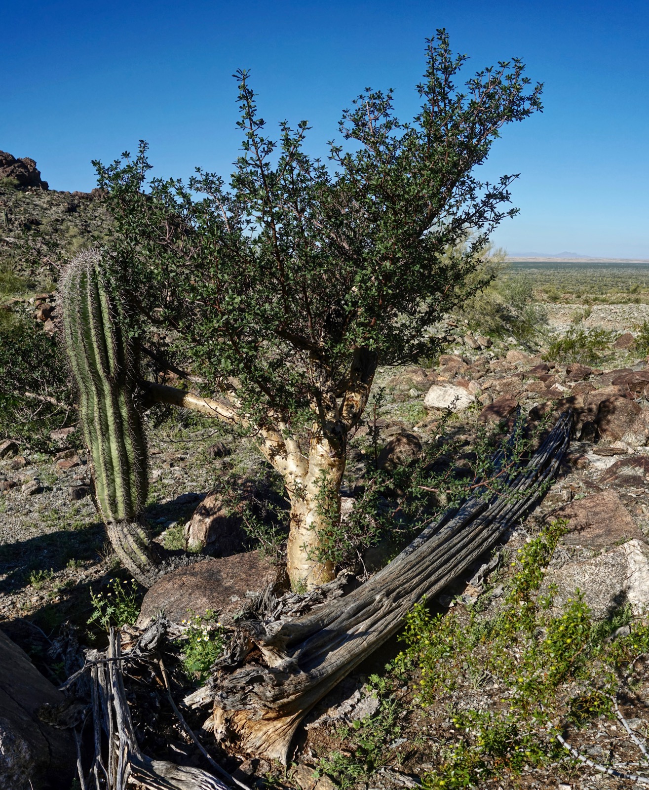
On a south-side bench we found an elephant tree that migrated from Mexico. Their main distribution is on the Sea of Cortez coast. They are rare in Southwestern Arizona because they can't take a hard freeze. If you locate this tree, look up and you will see a small jug handle arch on the south rim. Military grade shell casings were scattered in this area.
(THW, photo)
Eventually you will be funneled onto the canyon floor where continuous scrambling begins.

The Mohawk Mountains are composed primarily of granite, gneiss, and schist. A geologist in our group said we were in the Crystalline Basement. Look closely at the rocks and you will see coarsely laminated quartz, feldspar, hornblende, and biotite.

A side canyon enters at 1,500 feet, upcanyon left. Stay in the main gully to the right.

Two rock castles rim the principal ravine. (THW, photo)

Not long after the split, at 1,580 feet, you will arrive at the base of a loose, potentially hazardous slope. Three in our group chose to climb the Class 4 gully, shown image-left. The rock is rotten to start but is smooth with good holds toward the top.

The bypass is upcanyon-right. Pitch up a slope with rolling, tumbling rock for 100 vertical feet. For a couple of climbers it is just a short annoyance. Take a moment and build a strategy if you are in a group. Below, I'm shooting up at the slope just before large rocks came barreling down. My partner and I were very fortunate to escape injury. At the top of the slope move left back into the declivity.

The grade softens. Step up weathered gray rocks with white stripes. Top out on the Low Saddle at 1.9 miles, 2,250 feet, image-left. We gave some thought to climbing Peak 2,716' and circling southward on the ridge to Mohawk Mountain. But that was a bigger effort and we were on a multi-day climbing trip. So we dropped about 60 feet into the headwater bowl of Glynns Falls and then ascended to the High Saddle, image-center-right. SummitPost is another resource for this hike. The author coined Low and High Saddle. (THW, photo)

The canyon between the saddles is a pleasant segment on staircase boulders.

Reach the High Saddle at 2.1 miles, 2,570 feet. The summit is just shy of 0.2 mile from here. We regrettably cut off the corner by turning south just before the saddle, shown.

We worked our way onto the ridgetop by climbing a slope troubled with teddybear cholla, agave, and ocotillo.
(THW, photo)

The north ridge is airy and exposed. Stay on the spine as best you can and work around obstacles on the west.
(THW, photo)

Upon reaching a vertical-walled block, image-center, transition to the east side of the ridge. (THW, photo)

The gravest exposure is at the palo verde tree growing on the east side just below summit. In this image my partner is descending. Small people can squeeze between the tree and the wall.

Stay on high alert for the remaining 20 vertical feet to the summit. Rock is loose and if you slip, you're done. This image was snapped on the descent. (THW, photo)

The summit platform is high and broad which explains the solar powered microwave and VHF antenna. The Mohawk Benchmark was placed in 1910 (!) by the U.S. Coast & Geodetic Survey as a Triangulation Station. We knew most of the people in the peak register, including Bob Martin (1987), and Colorado guidebook authors, Gerry and Jennifer Roach, 2017. More recently someone penned, "This is a hassle peak. Baby Mohawk is ten times better."
(THW, photo)

Surely she referred to Mohawk Peak, which can be seen in this image far to the north. I agree that Baby Mo is more fun provided you have the guts to scale the catwalk up the free-standing horn seen from Mohawk Pass on I-8. (THW, photo)

Looking south, the Mohawk Mountains continue on down the line until they segue into the Bryan Mountains in the Cabeza Prieta Wilderness borderland.

I have a friend in Tucson who is climbing all the range high points in Arizona so, of course, he climbed Mohawk Mountain. He didn't care much for it, said he didn't like the loose rock. I am not a list completer; I climb peaks that appeal to me and I am fond of the Mohawks. Whatever your motivation keep your concentration level pegged, especially on the north ridge. (THW, photo)

No comments:
Post a Comment