Essence: Battleship Mountain is a polychromatic volcanic peak located in the northwest quadrant of the Superstition Wilderness on the La Barge-Boulder canyon divide. This hike and climb is on the short list of my desert mountain favorites. It has everything required for a truly memorable climb: a long approach on trail, nuanced and critical navigation off-trail, challenging and sustained scrambling, a constricted ridge with serious exposure, and unfathomable beauty with every step. I have used abundant photographs to illustrate the route but please, do your own research before tackling this strenuous trek up a complicated mountain. I hope the photos will bring pleasure to the majority of readers who may never climb Battleship. The Superstition Wilderness within the Tonto National Forest was designated in 1939 and expanded to 160,200 acres in 1984.
Travel: From the intersection of Lost Dutchman Boulevard and Apache Trail (AZ 88) drive north along the western front of the Superstition Mountains. Pass the Lost Dutchman State Park turnoff at 2.8 miles. A brown sign for First Water Trailhead precedes a right turn at 3.2 miles onto First Water Road, FSR 78. Reasonable clearance is needed on the lumpy dirt road. There are several wash crossings; do not attempt when flowing. Park at 5.8 miles. The large lot fills on weekends. Vault toilets, no water, no fees.
Distance and Elevation Gain: 12.8 miles; 2,200 feet
Total Time: 8:30 to 10:00
Difficulty: Trail, off-trail; navigation challenging; Class 4; considerable exposure; carry more water than you think you will need (5 liters recommended); hike in late fall, winter, and early spring to avoid scorching temperatures and rattlesnakes.
Map: Goldfield, AZ 7.5' USGS Quad
Date Hiked: March 28, 2023
Reference: A friend gave us a track but we had device failure. We navigated the old fashioned way using a topo map and a few scribbled notes from Czaplick's SummitPost entry. (Backup plan!) Please consult this succinct and descriptive trip report before initiating your climb. Our modifications are noted in the text below.
Quote: It always seems impossible until it’s done. Nelson Mandela
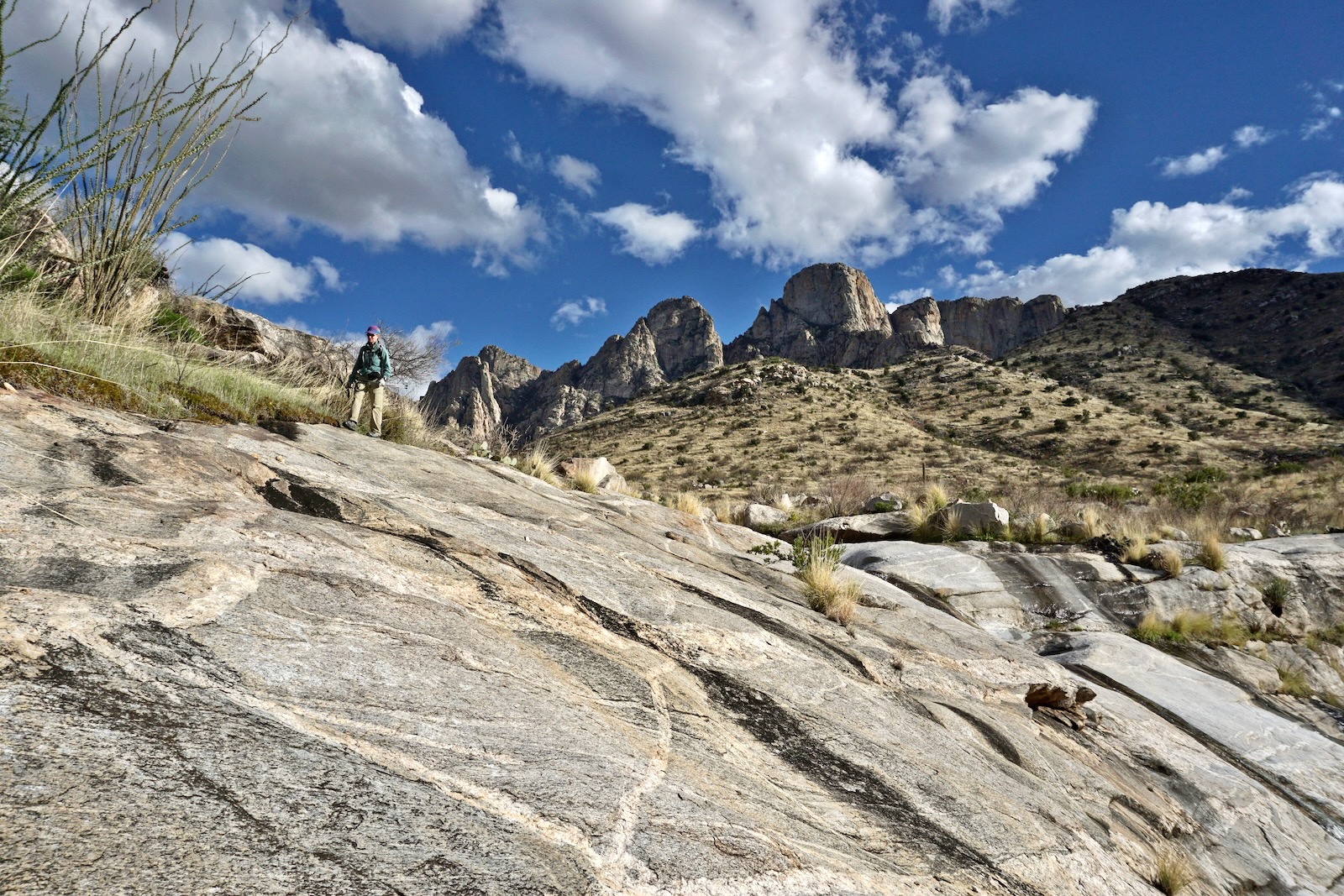
There's a certain disorderly pandemonium about Battleship that is at once appealing and imposing. Welded tuff eroded and weathered into rapturous forms. Can a mere mortal scale the bulwark? Bravery, scrambling prowess, and route finding skills are prerequisites.

Route: From the First Water Trailhead hike roughly northeast on the Second Water Trail to its end at the junction with the Boulder Canyon Trail. Hike southeast upstream for one mile. Ascend a social trail to contact the southeast ridge of Battleship. Stay on or near the ridgeline for the one-mile climb to the highpoint. Note: due to an inaccuracy in the Goldfield quad, the GPX track is skewed; it should be right on the ridgecrest. The Goldfield map has 20-foot contour intervals.

The Dutchman's and Second Water trails both leave from the First Water
Trailhead, elevation 2,280 feet, and bear southeast. This approach to Battleship stays on the Second Water Trail for 3.7 miles. I assume that if you are climbing this peak you are well acquainted with the trail system in the Superstitions so I won't belabor the description. Initial steps on
boot-worn ash-flow tuff lead immediately into the Superstition
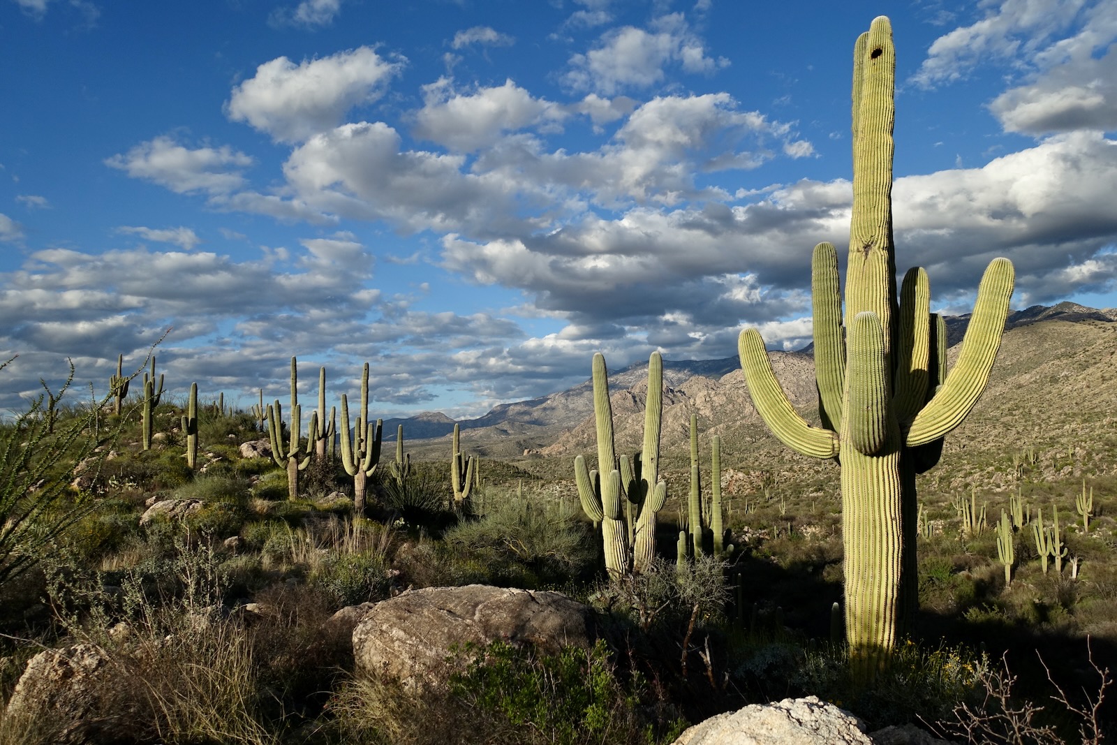
Wilderness. In morning light the topography is kaleidoscopic in color, the rockscape is chaotic, and Sonoran plants are premier.

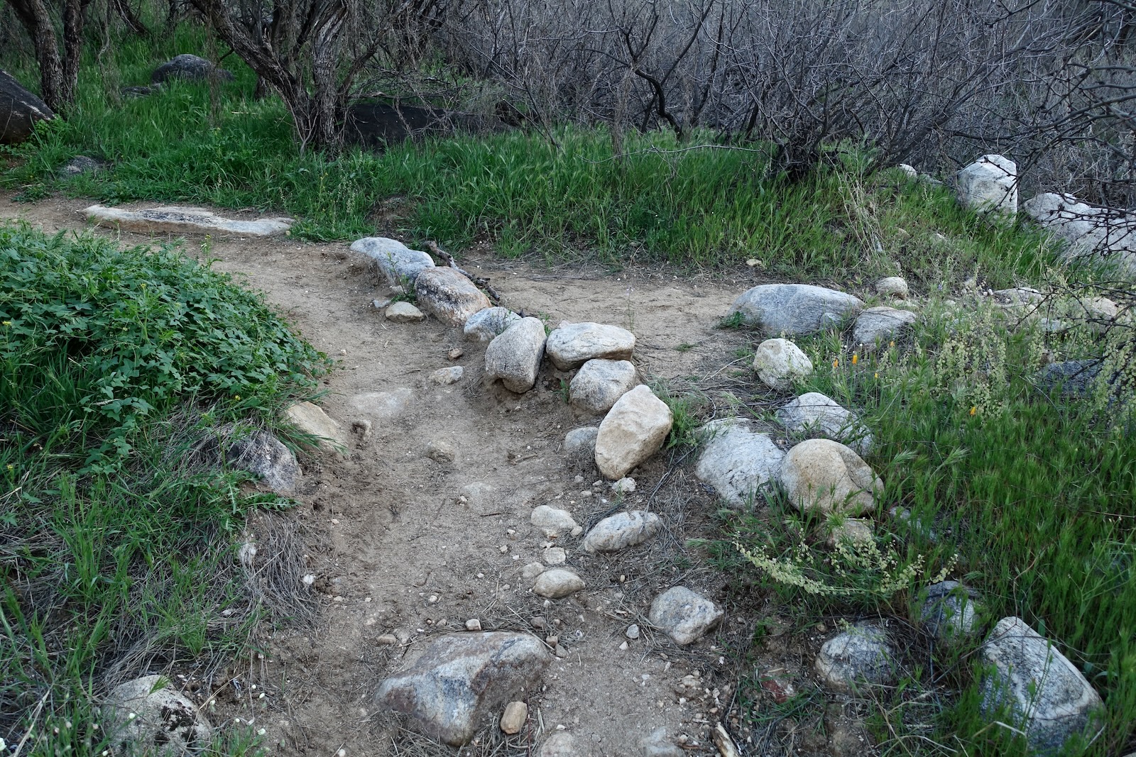
At 0.3 mile, the Dutchman's Trail branches right. Stay straight on the Second Water Trail. Hop across First Water Creek at 0.4
mile. It is a principle carrier of waters flowing north to Canyon Lake from the highest peaks. The path skirts Point 2,364' on the south. It was a wet winter and the landscape was as green as it is capable of getting. Flowers were bountiful and peaking. The brilliant yellow hillside was aglow with Mexican gold poppy, brittlebush, and yellow pearls we later learned were an invasive camomile. Along the way we stopped to admire lupine, blue-eyed phacelia, wild hyacinth, blue fiestaflower, Palmer's bluestar, evening primrose, desert marigold, California suncup, deervetch, fiddleneck windflower, rosy gilia, owl's clover, redmaids, blackfoot daisy, rockmustard, and desert chicory.
(Thomas Holt Ward, photo)

The path climbs softly and at the top of a rise turns southeast to track above another fork of First Water. The complexity of the terrain from this overlook is mind-bending. Incised canyons appear almost illogical in formation. The trail descends to cross the tributary at 1.1 miles and then turns north following the streamway, squeezed between two small ridges. In the narrow corridor, the trail barges uphill on a linear tuff sidewalk with distinctive stone steps and cribbing risers. On this day we saw only three people, two of them were on horseback and they turned back at the base of the rough little climb in order to be "kind to our old horses." Emerge in Garden Valley at 1.7 miles. It's a freakishly flat anomaly with a string of nubbins on the west. (THW, photo)

Stay straight on the Second Water Trail as the Black Mesa Trail bears southeast and a few paces later, the Hackberry Spring Trail branches northwest. On the north, mature saguaros have managed to dig their roots into a basalt rock pile.

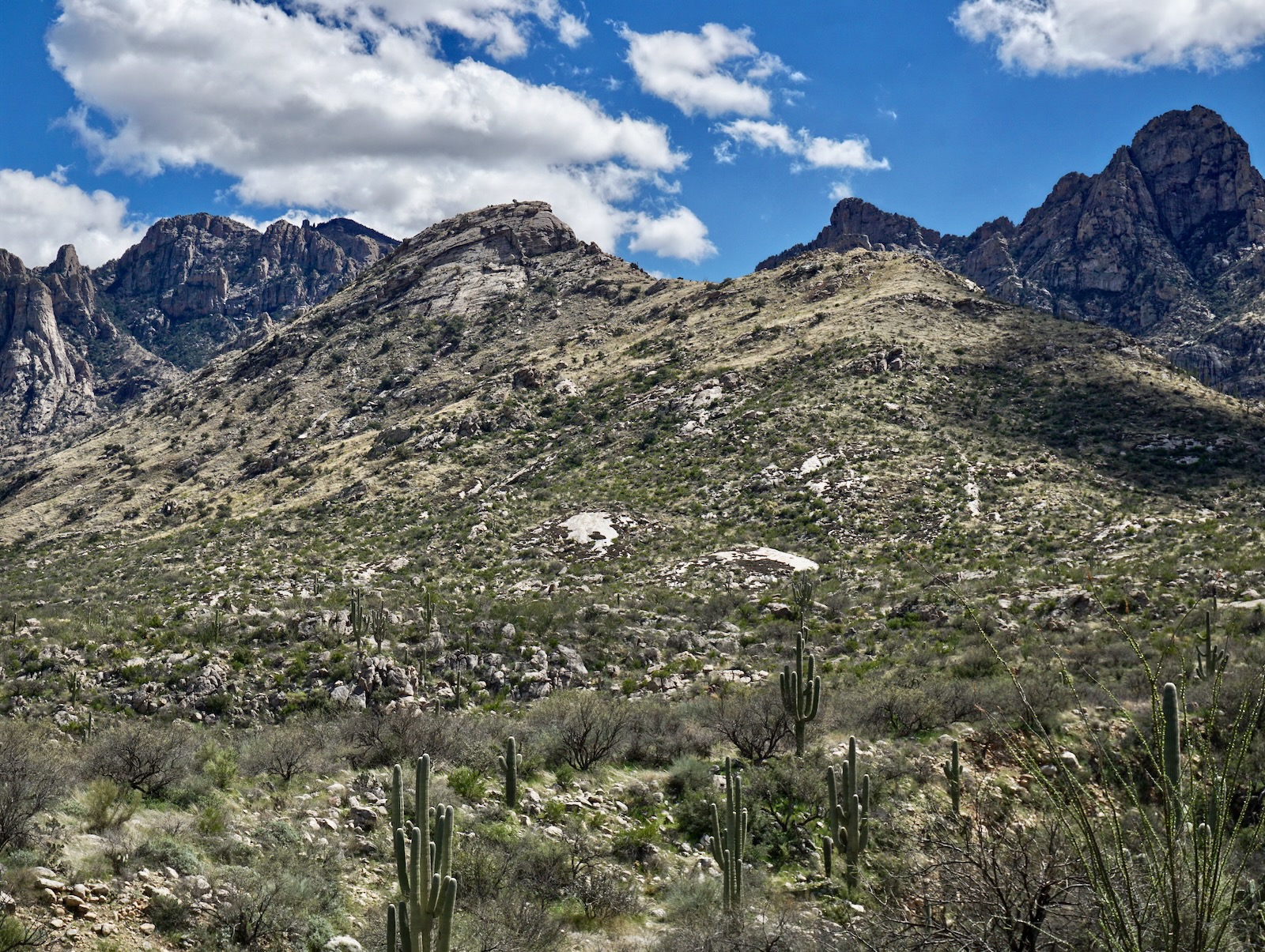
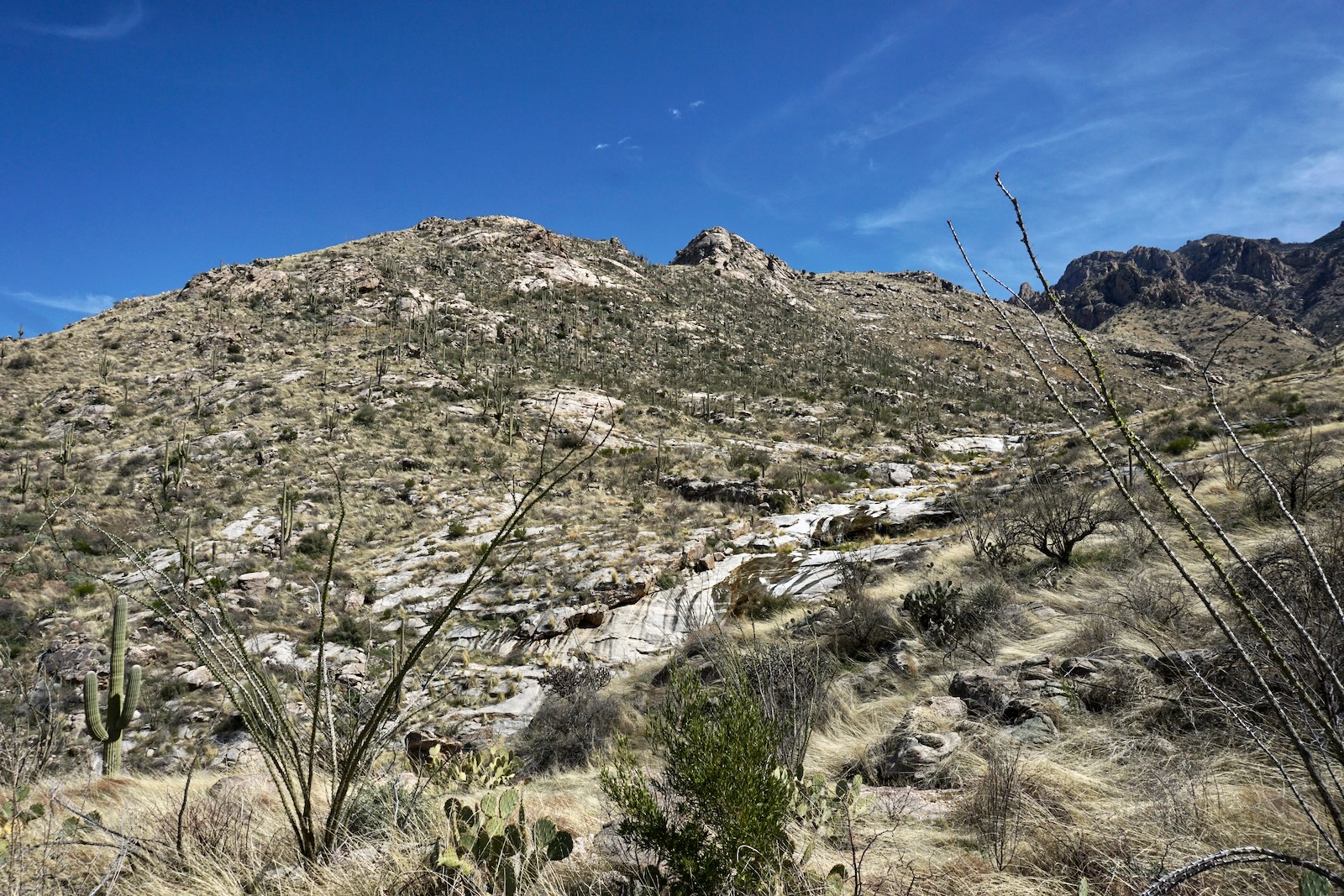
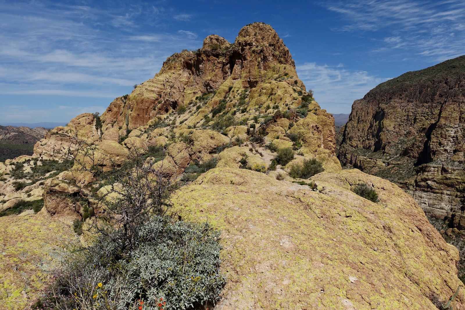
The soft dirt treadway rocks up as the 480-foot drop through the Second Water drainage begins. Catch the first look at aptly named Battleship at 2.9 miles. The long narrow ridge even has a prow at the north end. Geronimo Head is directly east and Malapais Mountain is southeast. The Superstition Mountains were constructed by volcanic activity 25 million years ago. The ship is composed of welded tuff formation brushed with brilliant lime, orange, and even a little ocean-blue lichen. (THW, photo)

The Second Water gorge is filled with tumbled, midnight black spheres. The Second Water Trail ends at the junction with the Boulder Canyon Trail, elevation 1,930 feet. The summit of Battleship towers directly above.

This route follows the Boulder Canyon Trail for the next 1.2 miles bearing southeast. Progress slowed as we boulder hopped over the rushing stream multiple times. A skyline arch upcanyon-right is visible for a few moments.

We were watching, of course, for any sign of a social trail heading up to the southeast ridge of Battleship. We paused at a massive cairn. Could this be it? There was no sign of use and the terrain was formidable so we kept going. At 4.9 miles, 2,030 feet, we found the use trail following an intuitively reasonable route up the stony slope, shown. It was a better path than we expected to find. Cairns guide, lines of rocks close off loose ends, the ascent is graduated.

We arrived on the southeast ridge at 5.1 miles, 2,340 feet. To give you an idea of timing, hiking at a moderate pace, it took us 2:45 to arrive at this point. It took 1:30 to span the one mile to the summit; the way is intricate, obstacles constant. It took 15 minutes less on the return. Allowing for top time, flower photos, and reconnoitering, our hike took a total of 8:45. I carried two bottles of frozen Gatorade and three liters of water. I stashed a liter at this junction to lighten my pack and picked it up on our return, a good strategy. I have heard stories of people running out of water on the summit. Plan to be out all day.

This is what the ridge looks like at the launch point, a jumble of bubbling boulders in shades of deep rust. We were delighted to find a social trail on the east side of the ridgecrest, an incalculable assist.

In a tenth of a mile, we reached the base of the first tuff wall. Work around the obstacle on the west, hugging the cliff. The trail makes every effort to stay as close to the ridgeline as conceivable. Our two mistaken adventures were not climbing when we should have, and dropping too low.

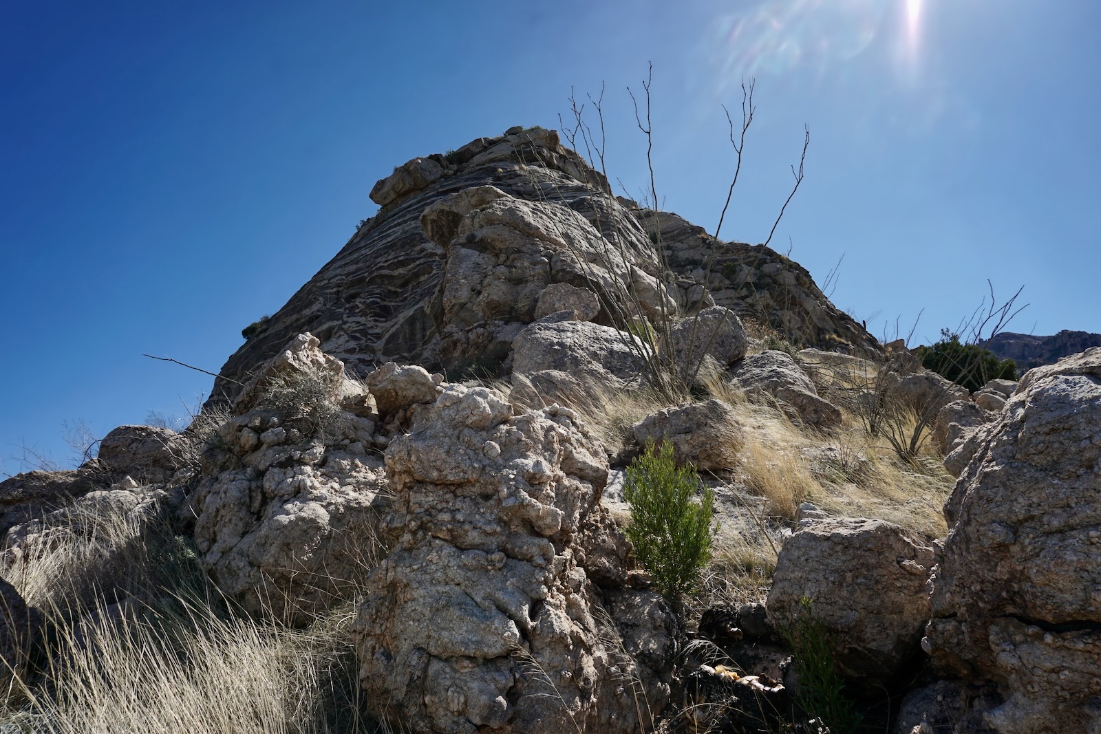
A ten-foot spherical boulder is the clue that you are at the first Class 4 pitch. The boulder is distinctive, the only one like it. Consulting my SummitPost notes, we were looking for a live paloverde just beyond the boulder. It is now dead and may not be there when you hike.

We overshot the pitch and mistakenly worked a loose end on a ridiculously exposed ledge for about 50 feet until we cliffed out and carefully backtracked.

It was the highest degree of exposure of the day and we were off-route. Don't do this! (THW, photo)

Looking at the image below, the edge of the sphere is on the right and the Class 4 pitch is to its left. At skyline you will see a large cairn at the top of the approximately 30-foot wall. The most sketchy climbing is the first 12 feet or so to a shelf. This move is described as Class 3 elsewhere but it has all the hallmarks of Class 4. On our downclimb we used an alternate line about 20 feet north with a helpful crack. Check it out. (THW, photo)

The wall is nearly vertical with slim depressions for holds. We learned to look for whitish wear patterns on the tuff surface left by climbers before us. The rock is sticky, an essential feature. I climbed this wall because it was my partner's birthday and I refused to retreat. Plus, I first laid eyes on Battleship in 2001 and was determined to climb it one day. Twenty-two years had elapsed--this was my moment. From the shelf, scrambling is Class 3 for the remainder of the pitch.

Look down on the pitch and sphere. (THW, photo)

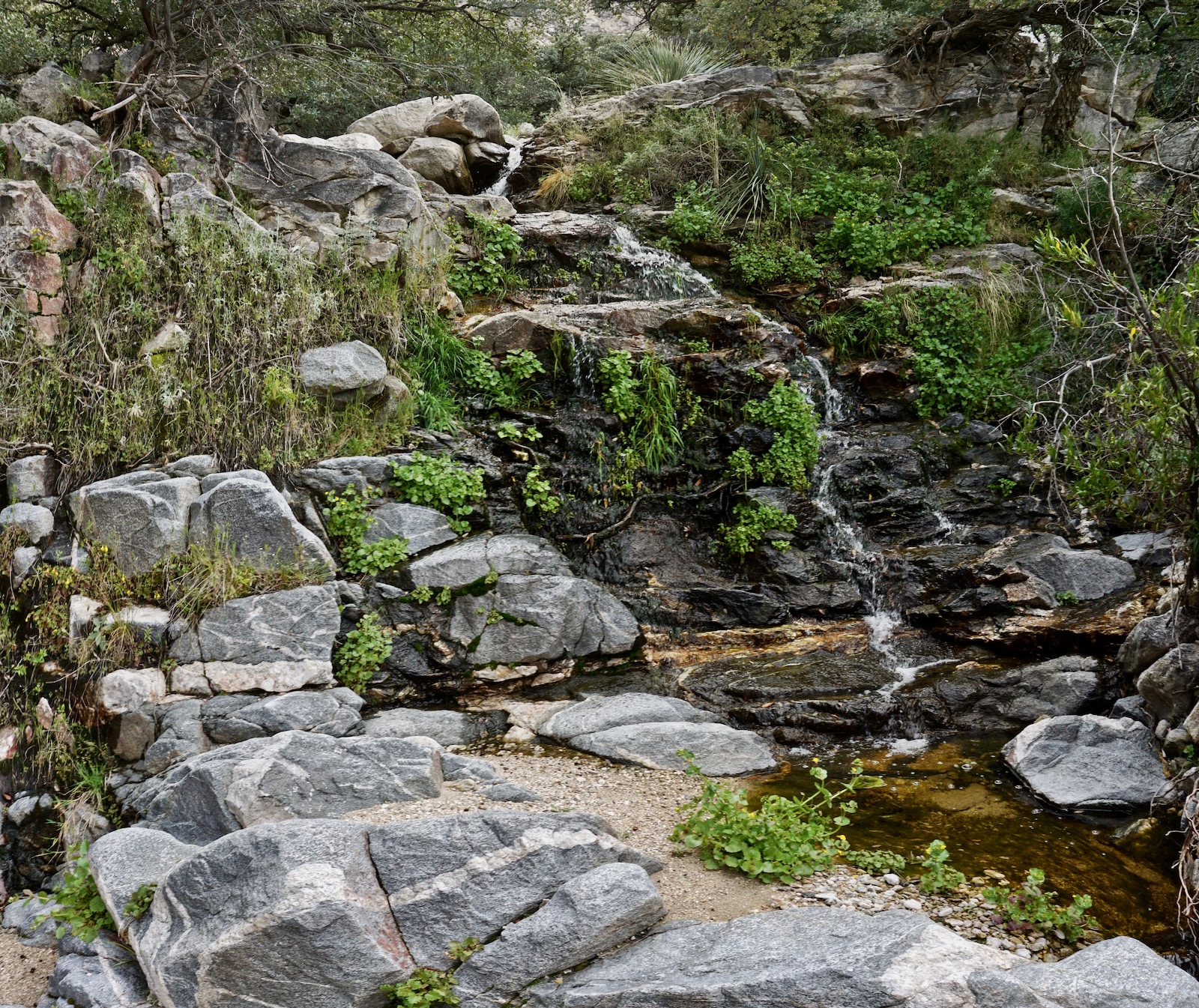
In La Barge Canyon to the east a stone pool is encased in a postpile amphitheater. Massive Malapais Mountain claims dominion.

Enjoy a momentary reprieve on the 50-foot-wide ridgetop trail.

Owl's clover and wild hyacinth delight in the foreground, Black Mesa is neon green, and Superstition Mountain holds up the sky.

Reverie ends abruptly. The ridge drops into a notch between us and the object of our desire. It isn't at all obvious how we're going to even get onto the colossal block standing before us. (THW, photo)

Move off the ridge, dropping into a crack on the west side. A narrow ledge with a decent platform leads into the gap.

Cross the first rather narrow span of ridge. (THW, photo)

At the wall, move west and locate a two-tiered crack.

Below, I'm scaling the rock above the crack. (THW, photo)

Here, I'm looking down on my partner descending into the same crack on our return.

This image looks back on the ridge thus far. I've included it simply because the landscape is so glorious. All the stone beings appear to pinwheel off from Weavers Needle. (THW, photo)

There is a short respite approaching a series of horizontal gashes, what SummitPost calls the fins. Use acquired intuition and common sense to forge a path through ridgetop boulders and bulges.

Look back on the gashes.


For a time it's a mix of straightforward walking and scrambling.

When the summit came back into view, I found it sobering. The highpoint is the middle knob of the three. Cut down through a crack on the west side and return to the ridge.

Arrive on the narrowest span of ridge, about three feet wide.

With the landscape streaming by in my peripheral vision (so disorienting), I sat down and scooted across the razorback. The rock is sticky. Great Fun! I was able to take it standing up on our way back.

Looking back on the fin, there is no workaround. (THW, photo)

Cross a gap and follow the trail to the left. A crack with dark, almost black rock will be on your right. If you got past the first Class 4 pitch and you are still on the climb, this is your crux. The roughly 15-foot, nearly vertical wall is Class 4. Holds aren't plentiful or generous but they are there where you need them. I had to take my pack off in both directions. Carry line with you as we did.


The route circles around the west side and finishes on the north.
Drop about 50 feet off to the west (again) and into a defile. Footing is loose on ball bearings but it's not too exposed.

SummitPost claims there is a Class 3 scramble to the summit from here but we didn't readily see it. For our part, we botched the route around to the north side of the mountain. From the defile, we made a big mistake and did a lateral which got us spinning on loose material, seriously exposed and doing our best not to slide all the way into Boulder Canyon. After a few minutes of terror we rejoined the trail on the north side of the summit block. So...looking at the image below, the objective is to climb up to the broad ledge, center-left.

Get up there by climbing this Class 3 crack.

Now, simply follow the trail and cairns around to the north side while gradually ascending.

The finish is totally mellow. The path wanders over to the La Barge Canyon side and corkscrews to the top.

Stand on the surprisingly roomy summit of Battleship Mountain at 6.4 miles. Bubbles of tuff make good sitting rocks. We found no peak register or even a summit cairn. It was perfectly still as we took in the view of the western Superstition Wilderness from the crest with a rise of 507 feet. The image below was snapped from the subsidiary peak looking north to the true summit, Canyon Lake, and afar to Four Peaks. The lower deck to the north is a broad flat of stone.
(THW, photo)

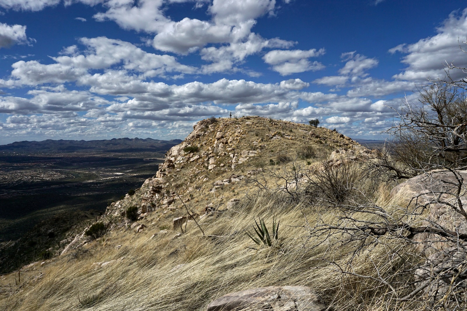
It is a short scamper south to the sub peak. (THW, photo)

From there, look down on the climber's southeast ridge (well done!), Bluff Spring Mountain east of Weavers Needle, and the Point 2,803' dragonback. It goes without saying, return as you came. (THW, photo)

On our way back, in Boulder Canyon we a caught a slight movement in the grass and stopped just in time before stepping on a Western diamondback rattlesnake. It reared up into a defensive posture and gave us the stare down as we cut a wide berth. There have been reports of trip-aborting rattlers holding firm in climbing crevices on the ridge to Battleship. We also saw cougar tracks imprinted in mud in two locations. (THW, photo)