Travel: From the center of Leadville, drive 3.5 miles south on US 24 to Colorado 300. Turn right/west and zero-out your trip meter. At 0.7 mile, turn left/south on Lake County 11. Turn right at the sign for Halfmoon Creek, staying on Lake County 11 at 2.0 miles. The paved road transitions to a bumpy washboard at 2.9 miles. Cross into San Isabel National Forest at 4.2 miles. There is plentiful dispersed camping. Established campgrounds include Halfmoon at 6.0 miles and Elbert Creek at 7.1 miles. Mount Massive Trailhead and parking is on the right at 7.5 miles. The overflow lot precedes. Signs prohibit parking on the road. 2WD vehicles should be able to reach the trailhead.
Distance and Elevation Gain: 14.1 miles; 5,550 feet of climbing, includes Massive Green, one mile RT and 360 feet of vertical
Time: 7:00 to 10:00
Difficulty: Off-trail, trail; navigation moderate; Class 2, one Class 2+ segment with very mild exposure
Map: Mount Massive, Colorado 7.5 Quad
Date Hiked: September 2, 2015
Reference: For information on all Mount Massive trailheads and routes, consult the authority: Colorado's Fourteeners: From Hikes to Climbs, by Gerry Roach.
Quote: Mount Massive is not just a peak; it is a region...No other peak in the 48 contiguous states has a greater area above 14,000 feet. By this measure, Massive reigns supreme. Gerry Roach
Mount Massive presides over the Leadville Historic District, elevation 10,152 feet.

Route: Walk one mile on the Colorado Trail before diverting west on the unmarked Southeast Ridge route. Ascend Point 12,381', South South Massive, South Massive, and Mount Massive. Do an out-and-back to Massive Green before returning on Mount Massive Trail No. 1487. Intersect the Colorado Trail three miles from the trailhead.

A few steps from the trailhead, 10,050 feet, fill out and carry a free permit. Enter the Mount Massive Wilderness. Ascend northeast on the Colorado Trail. On this expressway, Halfmoon Creek resounds below. An aspen forest flutters by. Ground cover kinnikinnick transitions to myrtle blueberry; woods' rose is ubiquitous.
Yes, it is hard to deny a beautiful trail, most do not. At 1.0 mile, 10,600 feet, divert into an inviting lodgepole forest with pleasantly scant surface clutter. Go due west for half a mile. The spongy, plush forest floor is idyllic, even more pleasant than the trail. At 1.3 miles, 10,940 feet, the ridge bends northwest. Let it pull you up through granitic boulders sparkling with crystals.

Denizens of the Southeast Ridge are rewarded with near continuous views of Mount Elbert. Sure, it is Colorado's highest summit, but it's got only twelve feet on Mount Massive. Precipitation in the night dusted the highest peaks with snow.

The gentle grade becomes businesslike. Pierce timberline at 11,900 feet. The krumholtz hangs on for all its worth to Pt. 12,381'. Fog shrouds the Arkansas River valley but Leadville is in the clear.

Marmots have taken over a natural swale at 12,250 feet, shown. The way is now evident to our first highpoint. Curve to the southwest and reach Pt. 12,381' at 2.9 miles.

South South Massive, Pt. 13,630', is 1.2 miles northwest. Give up 200 feet. A trail begins mysteriously out of nowhere then vanishes just as strangely. The absence of footprints, social trails, and cairns makes this route all the more refreshing and delightful.

The steepest part of the trek is the 1,450 foot green slog to South South Massive. I amuse myself with alpine willow gone to seed, yellow stone crop, alpine sage, arctic gentian, and most especially alpine avens, brilliant autumn maroon. This image looks down on Pt. 12, 381' and Twin Lakes receding below.

At 4.1 miles, reach unofficially named South South Massive, Pt. 13,630', shown. The only register of the day is tucked into the peak cairn. Looming up well over 14,000 feet is South Massive, our next ridge prize. (THW, photo)

Lose 230 feet. It's all good but the best segment of this odyssey is the Class 2+ scamper to South Massive. The path opens as you go, the grade eases. Scale a rock outcrop using a series of small ramps. Exposure is very mild on the thinning ridge.

These living rocks clearly delight in generating euphoria in humans who pass by. (THW, photo)

At 14,100 feet the ridge flattens. Surmount Pt. 14,132', unofficially named South Massive, at 5.3 miles, shown. The beautiful summit block is adorned with flat sitting stones overlooking mighty Mount Massive. Give up 230 feet and intersect the upcoming standard Mount Massive Trail 1487 in the saddle at 13,900 feet. (THW, photo)

Cairns are big. The trail is obvious. There will be people. It is nevertheless quite lovely. Stone steps lead the way through granitic features. The trail stays just east of the ridge most of the time with occasional forays on the spine.

Mount Massive's summit is long, flat, and skinny with strong rocks. The actual 14,421 foot crest is a small knob on this ridge that goes on forever and ever. Of course, you can see the whole known world from here but I am too enthralled with this very mountain to avert my eyes.

By now, 6.2 miles have lapsed and accumulated vertical is 5,190 feet. If you've had enough climbing, this is the time and place to head back. But if you have an extra mile in you and 360 feet of vertical, come along to the charming Massive Green, image-center. Roundtrip takes about 45 minutes.

On a good social trail, descend 241 feet in pleasant steps before climbing an effortless 120 feet to the top of informally named Massive Green, Pt. 14,300'. How did this rocky, rounded subsidiary peak come by its name? North Massive, shown, looks like a fun scramble; we agree to save it for another day.

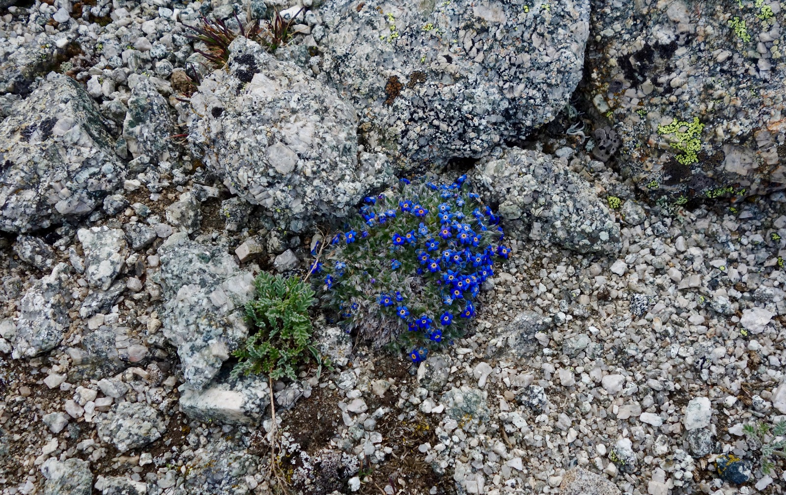
On the way back to the big mountain, I pass a single patch of forget-me-nots with their consciousness altering fragrance. It is my favorite alpine flower, rare in my home mountains, and I am elated.
Flirt with Mount Massive one last time at 7.2 miles and descend on the trail back to the 13,900 foot saddle. Listen for the industrious pica for they populate this region above 13,000 feet. At 7.8 miles, leave the ridge on the Mount Massive Trail. Residing in an open expanse between two ridges, the track makes a straight shot east. (THW, photo)

There is more rock than tundra for a good while. When tundra finally predominates, our collective footsteps have worn the top soil off to reveal the underlying rock. I walk slowly, looking over my shoulder at the spectacle this mountain presents, savoring the upper reaches of this hike.


At 9.4 miles the trail turns southeast becoming friendlier as it wends through willow patches and spikes of fireweed. From here, it looks like there are multiple approaches to South South Massive and South Massive. (THW, photo)

Treeline sputters in at 11,900 feet. Soon our path dives into deep woods and Mount Massive disappears from view. There is a signed junction at the Colorado Trail, 11.0 miles, 11,200 feet. Turn right and cross Willow Creek. Rock hop across South Willow Creek at 11.7 miles. Close the loop at 13.1 miles, just one mile from the trailhead.
No comments:
Post a Comment